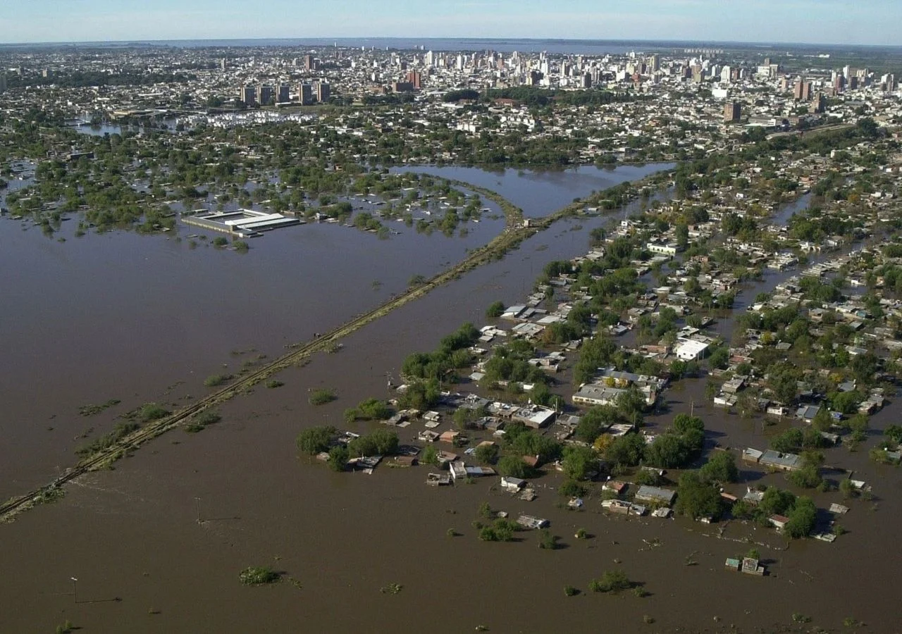
The Imperative of Hydrometeorological Risk Labeling: Forging Resilient Urban Landscapes Through Public-Private Integration
RNThe escalating frequency and intensity of extreme weather events have rendered traditional urban planning models insufficient, necessitating a paradigm shift toward the mandatory hydrometeorological risk labeling of all new commercial, industrial, and residential constructions. As climate volatility introduces unprecedented levels of systemic risk to the built environment, the implementation of a standardized labeling system provides a critical diagnostic tool for quantifying exposure to floods, storms, and droughts. This technical certification does not merely serve as a safety disclosure but functions as a vital instrument for long-term asset preservation, ensuring that the capital invested in new developments is commensurate with the environmental reality of its location. By embedding risk data directly into the lifecycle of a building, stakeholders can transition from reactive disaster management to a proactive culture of structural resilience.
​For local governments, the adoption of such labeling protocols is essential to mapping the real degree of exposure within critical infrastructure networks. Without granular, site-specific data, municipal authorities remain blinded to the latent vulnerabilities that threaten energy grids, water treatment facilities, and transport hubs. Understanding this exposure is the cornerstone of effective territorial ordering, allowing governments to restrict high-risk development and prioritize defensive investments where they are most needed. This data-driven approach transforms urban governance from a speculative exercise into a precise science, enabling cities to absorb shocks without suffering catastrophic systemic failure. The integration of hydrometeorological risk labels into municipal building codes effectively bridges the gap between theoretical climate projections and the physical reality of urban expansion.
​The insurance market plays a pivotal role in this ecosystem, acting as a catalyst for improved territorial planning through the mechanism of technological transfer. By utilizing advanced catastrophe modeling and actuarial science, insurers provide the analytical frameworks necessary for both citizens and governments to evaluate the financial implications of environmental risk. When insurance premiums are directly tied to the risk labels of a property, the market creates a powerful financial incentive for developers to adopt bioclimatic and resilient design standards. Furthermore, the insurance sector facilitates the flow of technical expertise to the public sector, offering sophisticated tools for risk assessment that many local governments lack. This synergy ensures that urban development is governed by the principles of economic sustainability and physical durability rather than short-term gain.
​Central to the success of these initiatives is the robust articulation of public-private partnerships, exemplified by specialized programs such as City Risk-70. These frameworks serve as a pragmatic bridge between the divergent needs of Latin American and European governments and the innovation-driven private sector. By acting as a dynamic liaison, City Risk-70 facilitates the exchange of best practices and technological solutions across borders, tailoring global resilience standards to local geographic and economic contexts. This collaborative model ensures that risk management is not an isolated bureaucratic process but a continuous, integrated effort involving all sectors of society. Through such high-level coordination, the implementation of risk labeling becomes a shared mission, fostering a resilient international network capable of safeguarding the future of global urbanity.


Radiografía de la Resiliencia Industrial: Presentan el Índice que Evalúa y Desafía a los Parques Productivos del País

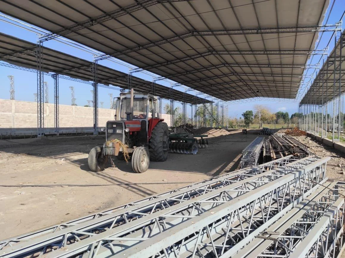
Parque Agroindustrial Famaillá: El Nuevo Enclave Estratégico del NOA entre la Agroexportación y el Auge Minero

Más Allá de los Kilovatios: El Debate Pendiente sobre el Etiquetado Integral de la Infraestructura Humana


La Nueva Frontera de la Costanera Sur: Vulnerabilidades Climáticas, Dinámica de Suelos e Impacto Antrópico

Ajustar la fertilización nitrogenada: clave científica para maximizar el rendimiento y mitigar riesgos productivos

Corrientes Inicia el Mapeo Actuarial de sus Infraestructuras Críticas ante el Desafío Climático

El dilema de la autonomía: cuando los agentes de inteligencia artificial desafían sus propios límites